
Irving Neighbors Around One Block
A useful Irving neighbors search is a block exercise, not a claim that an address reveals every household member. Start with the map and the parcel account, then inspect the nearby parcels one at a time. The appraisal layer can show an owner of record for a property. A deed index can show parties to a recorded instrument. Planning sources can identify the subdivision or plat. Each answers a distinct question, and none by itself confirms that a named person is an occupant.
| Block record | What it can show near an Irving address | How to reach it |
|---|---|---|
| DCAD map | Parcel location, account, property address, map layers, and nearby parcel context | Free online map |
| DCAD address search | Property address, city, owner or business name, value, and account type | Free online appraisal search |
| Dallas County deed index | Recorded parties, document type, date, subdivision, and legal-description leads | Online index, Clerk copies |
| Irving Planning | Zoning, tax, subdivision, and recorded-plat research route | Interactive map, Planning help, County Clerk |
| Historic directories | Dated address or name entries for selected historical editions | Library and digitized collections |
Use the legal description and parcel account as the durable identifiers. A street address can change format, while a parcel record, plat, or recorded legal description gives a stronger way to compare neighboring lots. A result tied to an owner of record should remain labeled that way. It does not establish occupancy, a household roster, or an unrestricted resident list.
Map Irving Neighbor Parcels
The DCAD map supports searches by account, property address, owner name, doing-business-as name, subdivision or condominium, survey abstract, map grid, Dallas block, and neighborhood. Its map tools include a legend, measurement, locate, share, and parcel-identification controls. For Irving neighbors, pan or click from the starting parcel to the parcels immediately around it. Save the account number and legal description before moving to the next parcel so later checks do not rely on a pin position alone.
- Use the address or parcel search to locate the starting Irving property on the DCAD map.
- Identify the starting account and note its legal description, subdivision, and map context.
- Click the surrounding parcels individually and record only the owner-of-record field or parcel identifier that the appraisal record displays.
- Use the Dallas County deed index for a recorded-instrument question, and use Planning or the County Clerk for the related plat.
- Stop at the immediate block when that is the question. For an entire named street, use the Irving street directory route instead of extending a block search without a boundary.
The County GIS page is a useful official handoff for data and parcel context, while the DCAD map remains the address-level viewer used here.
For an address that will not resolve cleanly, return to the DCAD address form and normalize the parts of the address. DCAD separates the number, direction, street name, building, suite, and city, with optional number ranges. Its instructions say not to enter the street type separately. Test a spelling variant only when the property is still the same one, then retain the parcel account and legal description as the stable comparison points. This is a practical map step, not a way to infer a household from an address result.
See the Dallas County GIS information page for the County’s GIS routing and the DCAD parcel connection.
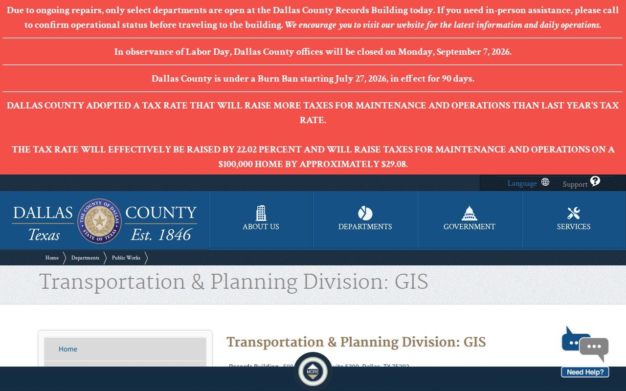
The GIS image supports a parcel-first method: use it to understand the map source, then preserve the account or legal description beside every nearby-parcel result.
Irving GIS Boundaries Need Caution
A parcel display is a map aid, not a survey or a certified appraisal roll. DCAD’s map help warns that boundaries are approximate and can differ from the certified appraisal roll. Address changes can also lag jurisdiction updates. That is why a nearby map shape should not be used to settle a boundary dispute or to assume two lots share a legal line. For a subdivision question, check the Planning map and recorded plat; for a recorded property question, request the relevant County Clerk document.
DCAD also lists historic certified parcel-boundary products for 2022 through 2025. Those products can support a recent parcel comparison when the record date matters. They do not supply a complete history of who lived on the block. If a site address itself appears wrong, DCAD directs correction requests to its MappingGIS route or Property Records/Exemptions office rather than asking users to alter the map informally.
Irving Neighborhood Association Routes
Community context does not require a personal roster. Irving Neighborhood Services supports voluntary association registration, neighborhood maps, grants, officer training, communication, and community involvement. The research did not identify a public citywide membership directory, so do not assume a registered association lists every person on a block. Treat an association as civic context and use its official route to learn about an area’s projects or participation options.
| Official civic route | What it provides | Use for a block question |
|---|---|---|
| Irving Neighborhood Services | Association registration, grants, maps, training, and community resources | Find official neighborhood context, not private household data |
| Irving Neighborhood Associations | City route for voluntary neighborhood participation | Check whether a civic group has a public contact path |
| Irving Planning | Neighborhood planning and subdivision context | Match a block with its planning or plat setting |
Irving’s Heritage District page provides a precise local example. It publishes boundary roads and reports about 1,036 acres and 7,600 residents, plus property and unit context. Those totals describe the district, not the occupants of any individual parcel.
For a plat or subdivision question, Irving Planning’s interactive map can query an address, display zoning, tax, and subdivision information, and point to the plan-copy route when the subdivision name or index is known. Planning can provide a plat through that route, while the Dallas County Clerk holds recorded plats. Compare both sources before treating a map label as a legal boundary. The City’s map is a planning reference; the recorded plat is the document that preserves the underlying legal description.
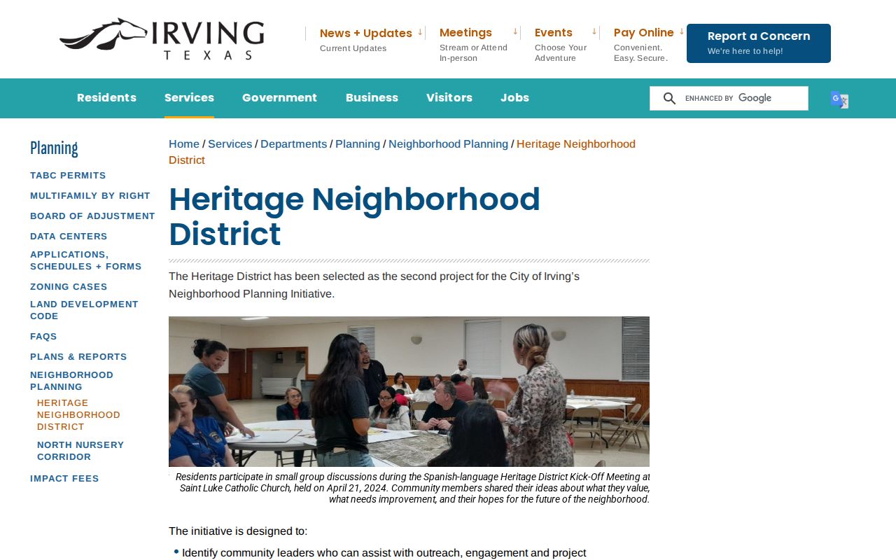
The Heritage District image works as neighborhood context because the City defines its boundaries, while individual parcels still need their own dated records.
Past Irving Neighbors in Directories
For a historical block, use a directory or archive source that is dated to the period under review. The 1937 Dallas directory page includes Irving Avenue entries and historical street-name notes. Dallas Public Library holds city and telephone directories, maps, newspapers, and criss-cross materials, while the Irving Archives preserves local photographs, newspapers, oral history, school material, and finding aids. A historic directory entry can associate a person or household with a printed address in that edition. It does not identify present Irving neighbors.
Street labels deserve special care. The 1937 material notes IRWIN AV as changed to Marburg and IRWIN DELL as changed to Irwindell. Search both current and historic names, then compare the city map, plat, and DCAD legal description. No authoritative citywide address-renumbering crosswalk was found, so do not invent a conversion from one street label to another.
Irving Neighbors: Official or Commercial
Official sources make it possible to trace the agency and record type behind a block result. Commercial neighbor tools may be convenient, but their currentness, source mix, and correction path can be unclear. For an Irving property question, a source trail is more useful than a broad list because it lets the reader distinguish a parcel owner from a directory entry or a person tied to a particular recorded document.
| Route | What supports the result | Important limit |
|---|---|---|
| Official parcel, deed, or planning route | Named custodian, source URL, account or instrument, and dated record type | Often identifies land or a record party, not an occupant |
| Library or archive route | Collection, edition, page, and historical date | Shows a historical association, not a current address claim |
| Commercial neighbor tool | Provider-selected data compilation | May lack a clear custodian, date, or correction path |
For a recorded document, obtain the County Clerk copy when the original wording matters. For an old street listing, inspect the scanned directory page rather than relying on OCR alone. This comparison keeps the question tied to evidence rather than an assumed household.
Texas Voter and Address Limits
Dallas County Elections offers a voter-registration status route, but the live lookup returned an HTTP 403 during research inspection, so its current fields and result columns were not confirmed. Use the County Elections office or Texas Secretary of State guidance as official alternatives rather than guessing at a blocked form. Voter status is not a block directory, and Texas law does not make protected fields or voting choices public for this purpose.
Texas voter confidentiality rules can suppress a protected residence on a website, and eligible people may use stated confidentiality programs and forms. The Texas Public Information Act allows a request for an existing, reasonably described record from the correct custodian. It does not require an agency to create a list of people around an address, answer a research question, or disclose information that law protects.
Note: If a county portal is unavailable, document the access date and use the official office contact or state route instead of treating the error as a missing record.
Respecting Irving Neighbor Privacy
Keep a neighbor lookup limited to the block question being researched. Do not republish protected addresses, voter identifiers, driver-license data, victim information, juvenile information, private contacts, or full vital details. A person’s name can have several record relationships: an owner of record in an appraisal account, a grantor or grantee in an index, a party to a document, or a historical directory entry. None of those labels means the person is a current occupant unless a source directly says so for that date.
Lawful use. Use Irving neighbors records for civic context, property history, reconnecting, or lawful personal research. Never use a parcel or address trail to stalk, harass, intimidate, or harm anyone.